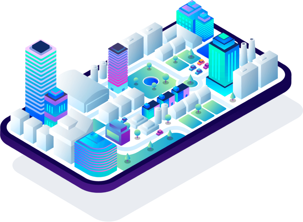
Your inventory is up-to-date, no matter what.


Oxygis covers both mapping and active management of outdoor assets.
Messaging integrated into the platform, available for every element.
Each user can personalize their interface. Oxygis integrates with existing tools.
Oxygis is available on computer, tablet or mobile, with or without a network.



"Through its various functionalities, Oxygis allows us to centralise our knowledge, to communicate efficiently with the field teams and to monitor all our forestry activities.
"Oxygis allows us to organise the maintenance of our playgrounds in an easy and modern way. Now we don't need paper records, and the field operations teams are that much faster and more efficient, without sacrificing safety !"
"Through its various functionalities, Oxygis will allow us to have a complete, shared and updated inventory of the park's assets. We can monitor the state of the estate and ensure the comfort and safety of the public, animals and staff [...]”
"Oxygis allows us to have a centralised view of the various upcoming work sites. With the mobile application, we greatly improve communication with our guys.
"Oxygis allows us to have an exhaustive view of our different cultivation plots. It allows us to easily manage rental leases, the location of our species and the precise location of a particular plot".
"Oxygis allows us to centralise our knowledge, to communicate efficiently with our field teams and to follow the activity of the domain."


operations solved
assets and spaces managed
issues identified
updates
countries
languages
