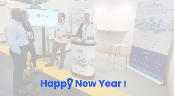
Useful for cities, regions, provinces or universities, Oxygis maps and maintains your green spaces, buildings, roads and urban equipment.


Maintain your playgrounds, according to the law
Have the characteristics of your urban equipment available
Report your field problems (breakage, healthiness, breakdowns, etc.)
Plan your field operations (tree pruning, rounds, maintenance, etc.)
Communicate more easily with your internal or external teams
Monitor the progress of your operations
Oxygis is a flexible tool that allows you to manage assets and equipment of various types: parks, streets, municipal buildings, etc., as well as a variety of operations: maintenance, urgent one-off interventions, upkeep, etc.
Reliable, our software platform offers you the assurance of quality work, at every stage of the process : it helps you meet the requirements of the law and the expectations of your citizens.
All this for a limited budget, adapted to the size of the organisation and its context.
Oxygis provides you with an ergonomic and easy-to-use web platform and mobile application. Our maintenance management software allows urban space managers to achieve complex results without any particular knowledge of cartography or IT.
Thanks to its high level of customisation, our tool can be adapted to your environment and to all your use cases, without any external intervention.
Oxygis also fulfils a decision-making role: our collaborative tool allows you to plan operations in a few clicks and without error, while informing your field operations users.
Create and share with your team a complete inventory of all your assets (benches, litter bins, hedges…), spread across your territory, to get an exhaustive view.
Observe and qualify the slightest anomaly encountered, for example on one of your street trees. Your employees can quickly and easily report any incident encountered on the field, so that it can be dealt with elsewhere.
Let Oxygis help you to avoid missing any deadlines : our maintenance software will alert you to any unplanned or unfinished actions.
In its mobile version, Oxygis is available on all Android devices. While tablets are recommended for greater viewing comfort and convenience, Oxygis is also accessible on smartphones.
You need an Internet connection to use Oxygis. However, in the event of a network loss on the mobile version of the mapping software, all modifications and interactions can be made offline and will be synchronised as soon as the connection is re-established.
As Oxygis is a SaaS solution in the cloud, its users benefit from the latest updates as soon as they are available. This applies to both the web version and the mobile application of the software, dedicated to the inventory and maintenance of your assets. In order to provide a quality after-sales service, Oxygis also informs you and accompanies you to help you easily integrate these new features.
Let’s meet and discuss your needs for the management of your urban spaces or contact us directly by
email